Download, View, and Print Maps with the MrSID Viewer
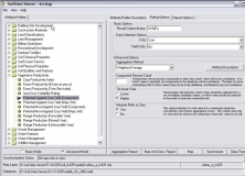
Soil Data Viewer allows a user to create soil-based thematic maps.
Free tool for managing and controlling your INCA laser mouse device.
It is a program to view on 3D digital elevation maps mixed with data acquired
Resco Viewer displays your photos easily and quickly and its Slideshow